Parts But Little Known: Maps of the Adirondacks from 1556
The maps in this exhibit graphically showed the increase in knowledge about the region and what was important to European military strategists, entrepreneurs, and tourists over the last 450 years.
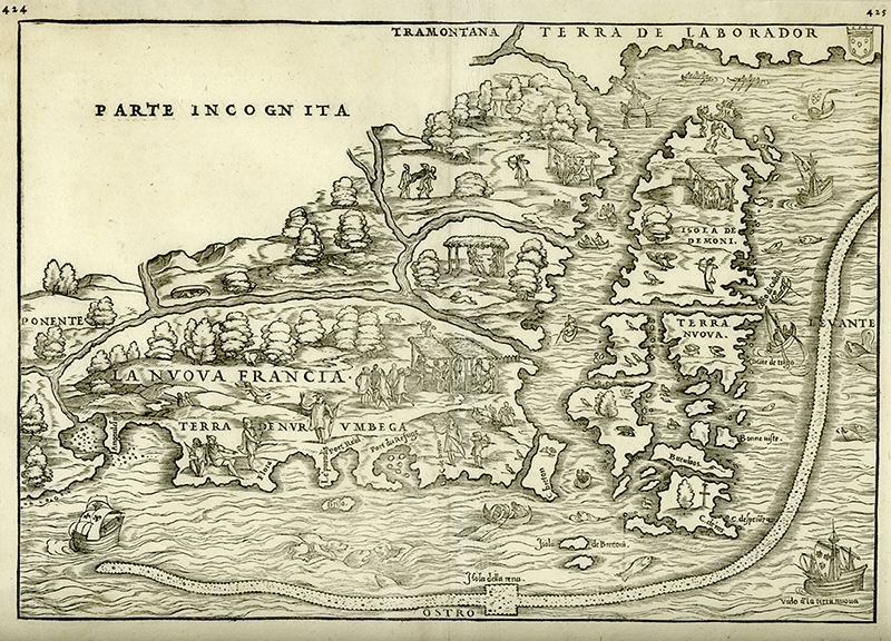
The earliest maps, which date from 1556 to 1794, are from a private collection. They reveal that the area was unmapped for many years even as the surrounding areas and much of the eastern United States were thoroughly understood and settled. The period after the American Revolution is represented by maps showing Colvin’s triangulation process, early railroads, Seneca Ray Stoddard’s exquisite Adirondack maps, the ever-popular and well-used topographic maps, canoe routes, hiking, ski and snowmobile trails, and the evolution of the “Blue Line,” including the current Adirondack Park Agency mapping process. The highlight of the exhibit is the large relief wall map of the Adirondacks that was made by Paul Schaefer, the original builder and owner of the house, and his friends from 1945 to 1954. The exhibit showcases the wide variety of regional maps in the Adirondack Research Library.