Samuel Lewis State Park
This park is located on a ridge of Cambrian Hellam Conglomerate, which is a distinctive local quartz sandstone and conglomerate unit at the base of the Chickies Formation. These units rest directly on gneisses of mid-Proterozoic age. The park overlooks the Susquehanna River, and is within sight of a great many geological, historical, and technological features.

View to the NNE. Chickies Rock is the cliff in the center left part of the picture, which is Stop 4. The far bridge is for U.S. Route 30, and the nearer bridge is for State Route 462. The town to the left is Wrightsville, the town on the right on the far side of the river is Columbia.

Some of the field trip leaders and participants. This view is toward the SE, toward the Safe Harbor Dam. The Susquehanna River is especially wide here because it is pooled behind the dam.
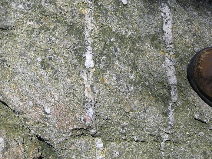
Hellam Conglomerate, cut by quartz veins that were emplaced during deformation. The rocks in this area are highly folded.