Once the Zodiacs were hoisted aboard and and secured, the ship got under way.
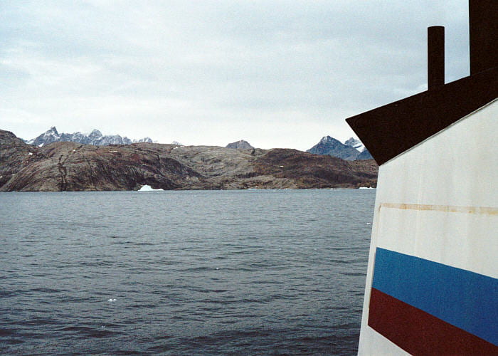
View to the west, toward the 600 m iceberg that was our constant companion in Kangerlussuaq Bay. It was probably aground, which is why it didn’t seem to move.

View to the north, toward Kramer Island. The dark-brown Skaergaard gabbros are visible on the right, and the gray Archean gneiss is on the left. Numerous dikes can be seen cutting the gneiss. The mountains in the distance are on the other side of Watkins Fjord, on the other side of the Skaergaard.

Looking northwest at some of the higher lands on Kramer Island, to the west of the Skaergaard. The Skaergaard intrusion is to the right, but not visible here. The home for the ship during the first storm was somewhere to the left (west) of the high point.


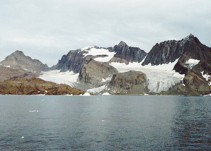
View to the northeast from the ship. From left to right: Basistoppen, Basis Glacier, Brødretoppen, Brødre Glacier, and Tinden. The black rocks on the upper right are the Eocene basalts. The roof contact of the Skeargaard can be seen beneath Brødretoppen, just above and to the left of Brødre Glacier.

View from the ship to the north, toward the Skaergaard region. Highest peak is Wager’s Top, with Hænge Glacier to its left and Bjørneskinds Glacier below. The Homestead area is to the right, just above the shore, and Kramer Island is to the left.

The open ocean in the Greenland Strait. The crossing was very calm.

Snæfellsjökull and the northern shore of Snæfellsnes extending to the left, at sunset on the return trip to Iceland.
